Neto Scariot
Product & UX/UI Designer
AI-powered geospatial platform analyzes satellite imagery at the speed of 48,000 experts, cutting deforestation risk by 88%.
Designing the first AI-powered deforestation detection platform to transform environmental monitoring through automated intelligence and real-time alerts.
Environmental crisis meets technological innovation. As deforestation accelerates globally with 10 million hectares lost annually, traditional monitoring methods remain manual, slow, and insufficient to address the scale of destruction.
The Instituto Estadual de Florestas de Minas Gerais (IEF-MG) needed an automated solution to detect deforestation across Minas Gerais state, replacing manual satellite image analysis that was time-consuming and limited in scope.
"The forest is disappearing faster than we can detect it, 48,777 technicians would be needed to monitor Minas Gerais daily."
Standard manual analysis process requires one full day per 12 km² area, making comprehensive state coverage impossible with traditional methods.
TerraChange had to pioneer automated environmental artificial intelligence, bridging the gap between conservation necessity and technological capability through geospatial AI systems
Click to read more about TerraChange
POSITION
Product Design Lead
INDUSTRY
Artificial Intelligence
Government/Enterprise/Private
Environmental Technology
MARKET
TerraChange operates across America, serving government agencies and enterprises in environmental monitoring and ESG compliance.
TOOLS
Figma
Miro
Jitter
Hot Jar
Adobe After Effects
QGIS
Dovetail
Claude AI
Maze
C4D
Spline 3D
Rive
Framer
Notion
React Native
Google Earth Engine
RESPONSABILITY
Lead 0-1 product design from research to deployment.
Define user experience for complex geospatial interfaces and automated alert systems.
Design intuitive dashboards, detection workflows, and comprehensive design system.
Collaborate with AI/ML engineers and environmental specialists for algorithm integration.
Validate with real environmental technicians and iterate based on field operations feedback.
Brazil alone lost 1.7 million hectares of native forests in 2021, while Minas Gerais specifically lost 48,000 hectares, resulting in 32 million tons of CO2 emissions.
Manual processes cannot scale to match deforestation speed.
This means illegal deforestation goes undetected, environmental damage accelerates, and compliance becomes impossible for agencies with limited resources.
12KM²
critical detection capacity
Each environmental technician needs one full day to analyze just 12 km² of satellite imagery.
48K
HECTARES LOST ANNUALLY
Minas Gerais alone lost 48,000 hectares in 2021, emitting 32 million tons of CO2.
49,777
IMPOSSIBLE STAFFING REQUIREMENT
Complete state coverage would require 49,777 technicians working simultaneously with current manual methods.
89D
DELAYED DETECTION
Conventional methodologies results an average of 89 days delay between deforestation events and official identification.
Design an AI-powered platform that transforms environmental monitoring from manual processes into automated artificial intelligence with real-time detection and machine learning capabilities.
This breakthrough establishes environmental monitoring standards, guarantees rapid intervention capabilities, and builds technological infrastructure for planetary-scale forest conservation.


Developed through the Startups and Entrepreneurship Ecosystem Development (SEED-MG) program in 2021, TerraChange successfully completed 12 months of government validation with IEF-MG, achieving 88% detection accuracy and official approval with investment funding.
Following platform deployment, environmental authorities gained access to continuous automated surveillance, validated alert systems, and complete territorial coverage capabilities.
24H
COMPLETE STATE SCANNING
Minas Gerais scanning now takes one day instead of requiring impossible resource allocation.
88%
DETECTION ACCURACY
AI algorithms achieved 88% accuracy in field-validated deforestation identification.
-99.8%
RESOURCE REQUIREMENTS
We reduced government resource needs to monitor deforestation across 586,528 km².
+27x
MONITORING FREQUENCY
Real-time comparison capabilities enable deforestation detection and counter-action every 5 days.
TECHNICAL
Final platform must integrate with satellite imagery APIs, geospatial databases, and existing environmental monitoring systems while maintaining accuracy across diverse terrain types.
government validation
Approved by Minas Gerais government after extensive field testing and received SEED-MG investment funding.
extensive testing
08 months development + 12 months government validation testing with IEF-MG.
After analyzing environmental monitoring limitations, we conducted deep research into satellite imagery processing, interviewed environmental agencies, and mapped critical detection workflows across different user types.
COMPETITIVE ANALYSIS
Reviewed 35 platforms (12 direct environmental monitoring tools, 23 adjacent geospatial solutions) including traditional GIS systems, agriculture monitoring, and disaster response platforms.
CARD SORTING & CRAZY 8'S
Priority workshops revealed critical pain points from environmental technicians, compliance officers, and field coordinators. Card sorting defined feature prioritization based on detection accuracy and response time requirements.
ENVIRONMENTAL DATA ANALYSIS
Leveraged satellite imagery databases, historical deforestation patterns, and proprietary AI training datasets through partnerships with environmental research institutions and space agencies.
Prototypes validated with real environmental technicians who provided insights on field verification processes and alert response workflows.
user RESEARCh
Interviewed 15 environmental technicians and 8 agency coordinators, gathering insights on current monitoring processes and detection challenges.
Later validation included 6 compliance specialists from environmental agencies and private sector ESG teams.
Pain Points
coverage IMPOSSIBILITY
Current manual processes cannot achieve comprehensive territorial coverage, leaving vast areas unmonitored and vulnerable to illegal deforestation.
DETECTION DELAYS
By the time deforestation is manually detected, significant environmental damage has already occurred, reducing intervention effectiveness.
RESOURCE LIMITATIONS
Environmental agencies lack sufficient human resources to perform adequate monitoring, creating systematic gaps in protection coverage.
VERIFICATION COMPLEXITY
64% of technicians report difficulty distinguishing actual deforestation from natural vegetation changes using traditional analysis methods.
Opportunities
AUTOMATED INTELLIGENCE
AI-powered detection can process vast amounts of satellite imagery simultaneously, ensuring comprehensive coverage and rapid identification of deforestation patterns.
PREDICTIVE CAPABILITIES
Machine learning algorithms can identify deforestation risk patterns and provide early warning systems for proactive environmental protection.
FIELD INTEGRATION
Mobile-accessible platforms will enable field verification and rapid response coordination, optimizing resource deployment and intervention effectiveness.
SCALABLE MONITORING
Cloud-based infrastructure will support expansion across multiple states and countries, creating standardized environmental monitoring capabilities.
Based on environmental agency priorities and monitoring requirements, we mapped critical detection and response journeys.
Technicians manually examine satellite images requiring extensive time per coverage area, limiting scope.
Field verification creates additional delays in response timing and coordination between detection and action suffers from process gaps.
H1 Task
Title
Context field
Phospor Icons
3D Asset
Task
Navigation
Automated satellite imagery analysis and pattern recognition
Global
Navigation
Block Card
Component
Block Card
Component
H3 Task Title
Phospor Filter
3D Asset
Immediate notification and verification workflows
H3 Task
Title
Step Navigation
10
Step Value
Rotating
Control
STEP #01
homepage
STEP #02
CONTACT
step #03
TRANSFER TRACKING
STEP #04
CONFIRMATION
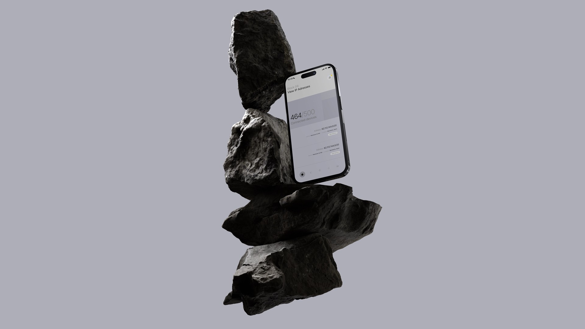
User submits or accepts an offer on a chosen IPv4 block
Counterparties reviews and signs a legally compliant digital contract.
User monitors real-time RIR transfer status via immutable blockchain updates.
Final IP ownership is confirmed, records updated on blockchain.
Field verification and response coordination
Carlos Silva
Environmental Technician
CONTEXT
Field specialist responsible for deforestation verification and environmental compliance monitoring across assigned territorial zones.
EMPATHIZE
Prioritizes detection accuracy, mobile accessibility, and efficient field verification workflows.
Ana Oliveira
Agency Coordinator
CONTEXT
Manages environmental monitoring operations, coordinates response teams, and oversees compliance enforcement across multiple regions.
EMPATHIZE
Seeks comprehensive coverage, rapid alert systems, and operational efficiency optimization.
Roberto Santos
ESG Compliance Manager
CONTEXT
Oversees environmental compliance for agribusiness company, ensuring adherence to sustainability commitments and regulatory requirements.
EMPATHIZE
Requires continuous monitoring, compliance documentation, and risk assessment capabilities.
Maria Costa
Environmental Researcher
CONTEXT
Academic researcher studying deforestation patterns and environmental impact, requiring access to comprehensive monitoring data.
EMPATHIZE
Values historical data analysis, pattern recognition insights, and research-grade accuracy.
Technology-focused methodology:
Establishing environmental monitoring standards through AI-powered precision
unique value proposition
Transform environmental monitoring from impossible manual processes into comprehensive automated intelligence through AI-powered detection and real-time alerts.
UNFAIR ADVANTAGE
Leverage proprietary machine learning algorithms and comprehensive satellite imagery integration. Traditional solutions lack automated detection capabilities.
key metrics
Focus on detection accuracy, coverage completeness, and response time as primary KPIs.
Target government adoption through field-validated performance and compliance automation.
REGULATED APPROACH
Prioritize features ensuring detection accuracy and operational efficiency.
Environmental agency collaboration ensures platform meets regulatory requirements while solving real monitoring challenges.
Based on environmental monitoring requirements, we defined core design problems using
user-centered approaches.
HOW MIGHT WE
make AI detection understandable?
We prototyped 4 detection visualization interfaces and validated them with environmental technicians before implementing the complete system.
HOW MIGHT WE
optimize complex geospatial data?
Different users need different detail levels. We created adaptive dashboards that surface relevant information based on user role and operational context.
HOW MIGHT WE
enable effective field operations?
The challenge was mobile accessibility for remote locations. We designed offline-capable interfaces with synchronized updates for comprehensive field coverage.
HOW MIGHT WE
support rapid response workflows?
We enhanced alert systems and created escalation protocols, directing users to immediate action pathways and response coordination tools.
Solved complexity by creating intuitive workflows that present sophisticated AI analysis through accessible interfaces.
We reduced steps needed to detect deforestation, verify alerts, and coordinate responses.
2.8s
VERIFICATION TIME
We established automated detection components through AI back-end data for real-time dashboard visualization.
-12
LEGACY FEATURES
We eliminated 12 complex features from traditional software scope.
Optimized the interface to provide essential monitoring functionality without overwhelming users.

Following TerraChange's environmental mission, we created a comprehensive design system emphasizing accuracy, accessibility, and environmental consciousness.
The goal was professional reliability ensuring adoption across environmental agencies, compliance teams, and field operations.
We deployed a complete system with Design Tokens, Environmental Guidelines, and Components optimized for geospatial interfaces.
We deployed a front-end friendly Design System with Tokens, Brand Guidelines, and Components ready for adoption and impact measurement.
A 3D-based delightful visual system speaks through a color palette that stays within safe, cool tones, inspired by financial and legal institutions, but avoids sterility through careful contrast and spacing.
Virtual spaces and three-dimensional fluid assets brings the idea of building blocks, sensing that Digital Real Estate is coming to reality, which opens space for a new future of trading and investing.
Users
DEVELOPERS
Structured guidelines with geospatial tokens, production-ready components for mapping integration, and foundational elements like environmental icons and data visualizations, exportable as code or SVG.
design documentation
Complete Figma integration with environmental color systems and mapping components, displayed alongside usage guides for optimal geospatial layouts and data presentations.
environmental TEAMS
Extended the system to field operations and reporting. Environmental libraries standardized monitoring assets, improving consistency while elevating professional credibility.
AGENCY INTEGRATIONS
Government clients needed design guidelines for their internal systems and compliance reports. The system provided quick access to environmental design standards for seamless integration.
Composition
3D COMPONENT LIBRARY
Taquar's dimensional design standards became metrified tokens and interactive components, displayed across sections ranging from depth hierarchies to lighting systems
INTERACTIVE ELEMENTS
The resource library features cards, buttons, and navigation with sophisticated depth properties. Complex 3D components like market visualizations and portfolio dashboards are optimized for performance.
RESPONSIVE DEPTH
The dimensional hierarchy was organized into variables with respective guidelines for each depth layer and interaction state. Adaptive scaling ensures consistent visual weight across devices.
TECHNICAL DOCUMENTATION
Beyond Zeroheight integration, we created comprehensive guides explaining the rationale for each 3D design decision; this documentation was fundamental for frontend implementation.
Benefits
DEVELOPMENT EFFICIENCY
The metrified components reduced implementation time drastically; analysis shows 3x faster development cycles for new features using the established 3D component library.
BRAND STANDARDS
User trust increased significantly with the sophisticated 3D interface; we positioned Taquar as the institutional-grade platform it aspires to be, enhancing credibility in financial markets.
PREMIUM POSITIONING
By extending dimensional design across all Taquar touchpoints, we positioned the platform as the premium solution in IPv4 trading, differentiating from flat, commodity-style competitors.
SCALABLE ARCHITECTURE
Standards defined in Storybook documentation, combined with Zeroheight guidelines, facilitate platform scaling and feature expansion with consistent visual language.
Typeface
Inter Display
Color Styles
Iconography
Padding & Spacing Scale


Taquar's trading features are sophisticated, requiring careful information hierarchy.
We designed and iterated key components based on research insights and prototype testing, establishing patterns for complex financial interfaces through atomic design.
#01
DETECTION CARDS
We designed card patterns featuring real-time data, expandable details, and quick actions. These cards were optimized for both block discovery and portfolio management.
#02
DETECTION CARDS
Our main challenge was presenting complex geospatial data clearly; we created and tested 3 mapping display options, selecting based on user comprehension and operational efficiency.
#03
VERIFICATION FLOWS
We designed multi-step verification interfaces with field data input, photo documentation, and status tracking throughout the confirmation process.
#04
MONITORING DASHBOARDS
Complex environmental components integrated satellite data, historical analysis, and alert management - serving both field technicians and agency coordinators.
Reached validation stage where we tested complete detection workflows with real environmental technicians and agency coordinators.
Environmental specialists, field technicians, and compliance officers formed a group of 12 people who underwent structured usability sessions.
ITERATION #01
DETECTION INTERFACE
Users initially found detailed AI analysis overwhelming. We redesigned the interface with progressive disclosure and added guided explanations for complex environmental indicators.
ITERATION #02
MOBILE EXPERIENCE
Field verification was challenging on mobile devices in outdoor conditions. We redesigned for high contrast and optimized touch targets for field operations.
ITERATION #03
ALERT MANAGEMENT
Previous design buried critical environmental alerts. We elevated urgent notifications and added clear escalation paths for immediate response.
ITERATION #04
MAPPING INTERFACE
The geospatial view included excessive technical data that distracted from primary detection tasks. Simplifying the mapping interface improved task completion by 45%.
Development was handled by TerraChange's environmental technology specialists alongside geospatial consulting partners.
Direct collaboration with IEF-MG provided authentic validation, credible use cases, and immediate regulatory approval.
12 months of real-world testing with environmental professionals ensured the platform met actual operational requirements.
The design system is documented in comprehensive guides serving as foundation for the AI/ML development team.
We maintained extensive collaboration on AI algorithm integration, satellite data processing, and environmental compliance implementation championing user experience throughout technical development.
Achieved real-time monitoring capabilities across 586,528 km² territory with consistent accuracy, reducing deforestation risk by 88%.
Stakeholders are aiming to expand the solution throughout America, now negotiating with B2B environmental companies from United States and Canada.